Building Strong Communities, One Station at a Time
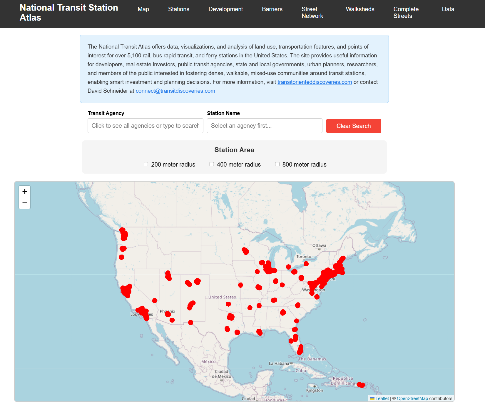
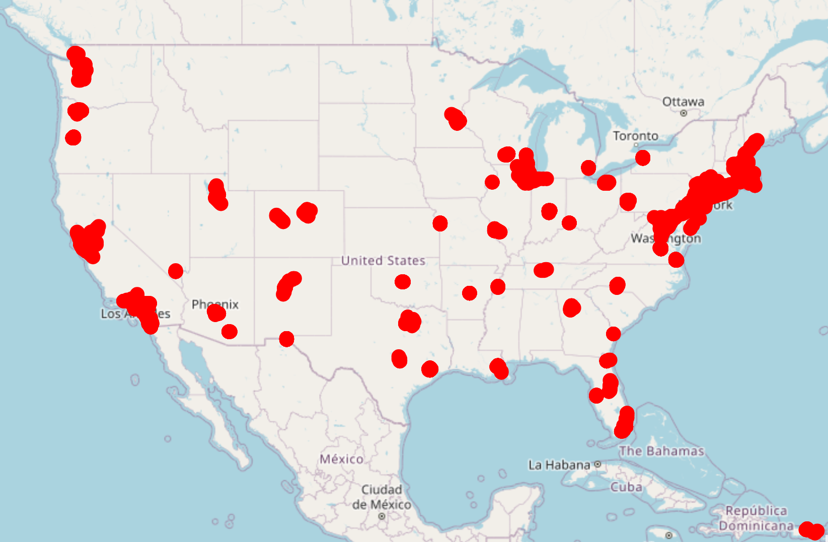
Welcome to the most comprehensive reference guide to U.S. transit stations ever created: a platform with maps and data for almost every subway, light rail, commuter rail, streetcar, bus rapid transit, and ferry station in America.
Each transit station is a nexus of possibility—a place where people, land use, transportation networks, and urban design converge. The National Transit Station Atlas meticulously documents each station’s features and maps the physical landscape surrounding transit infrastructure. This allows us to uncover opportunities for improving mobility and create more connected, equitable, and sustainable transit-oriented environments.
Transit Agencies
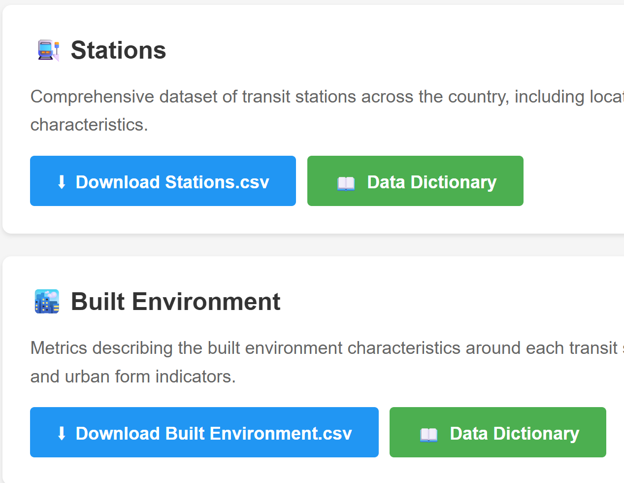
Stations
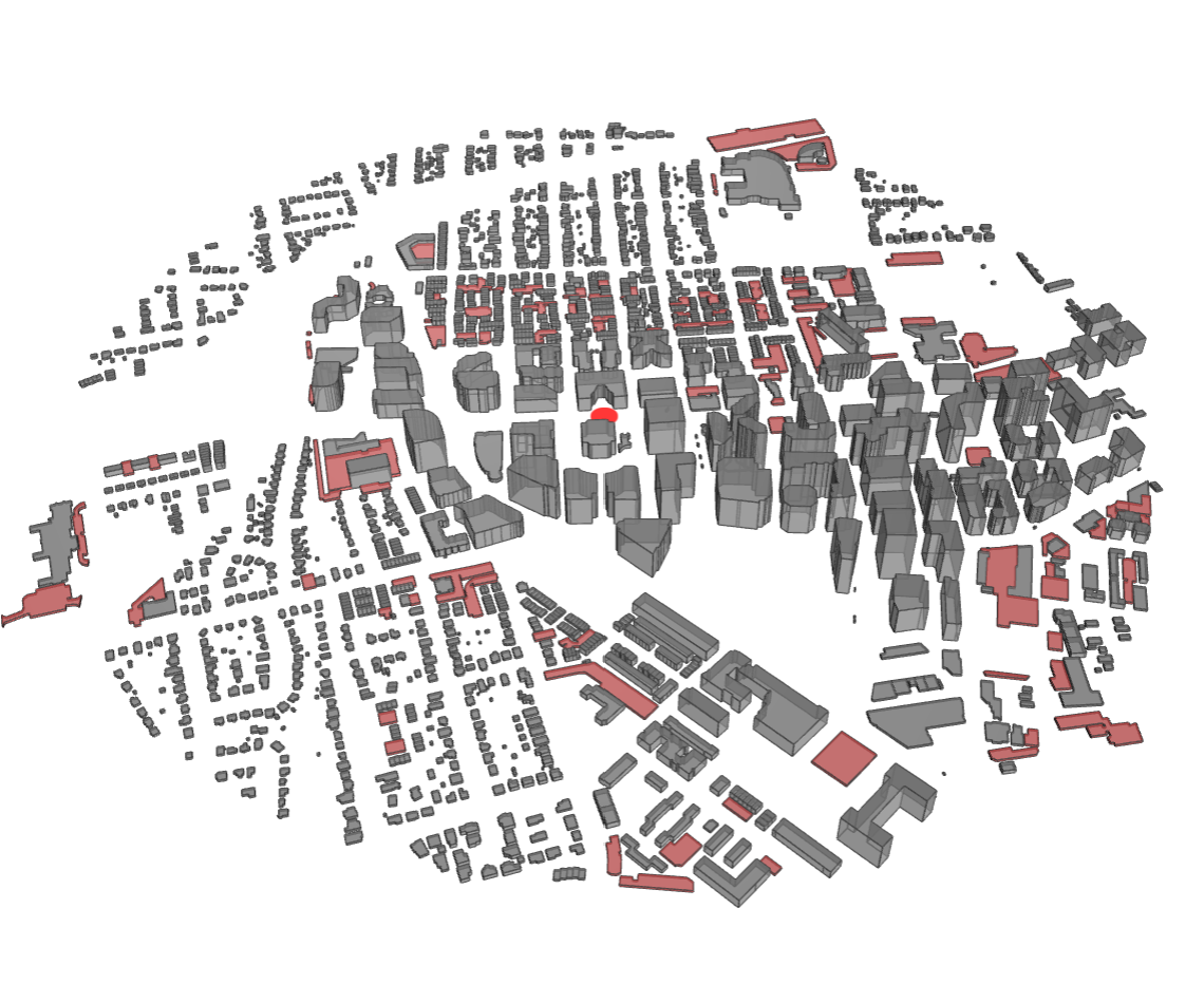
Urban Form
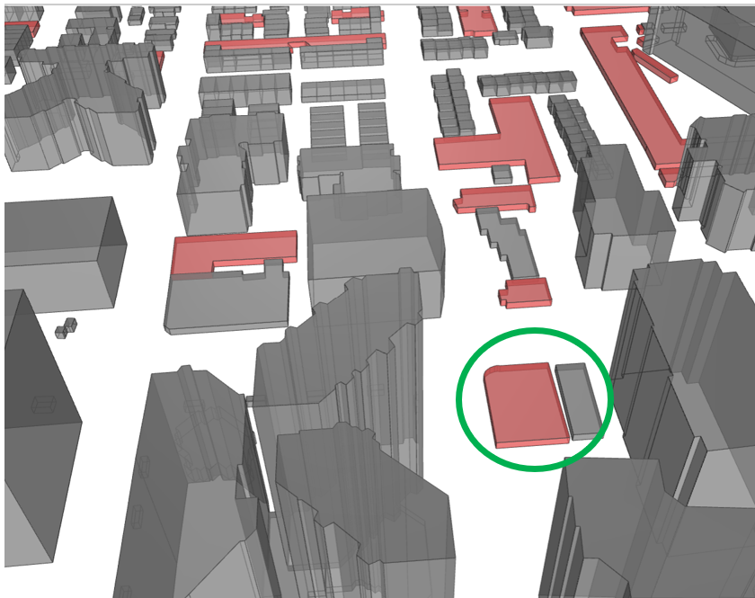
Development Opportunities
Roadway Barriers
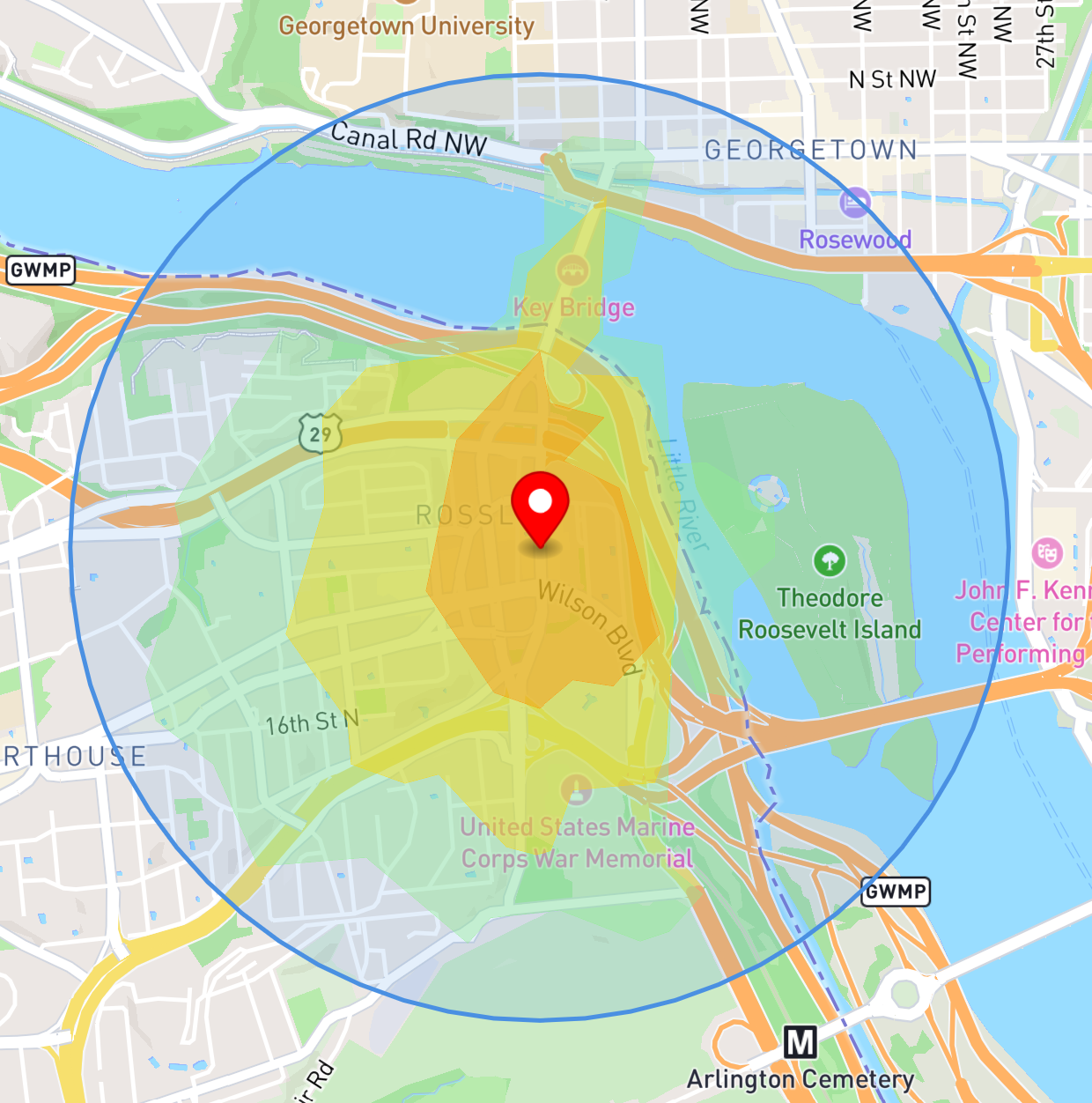
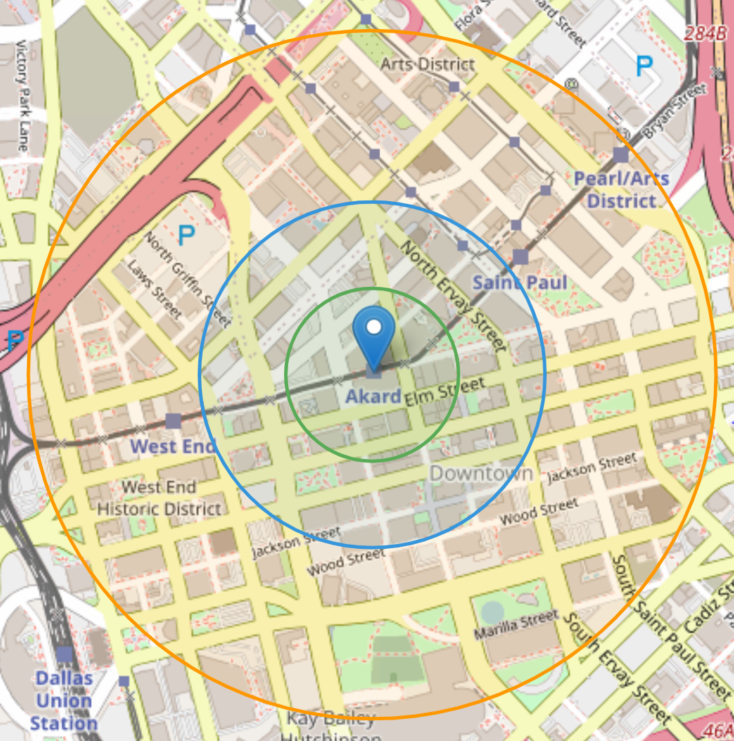
Walksheds
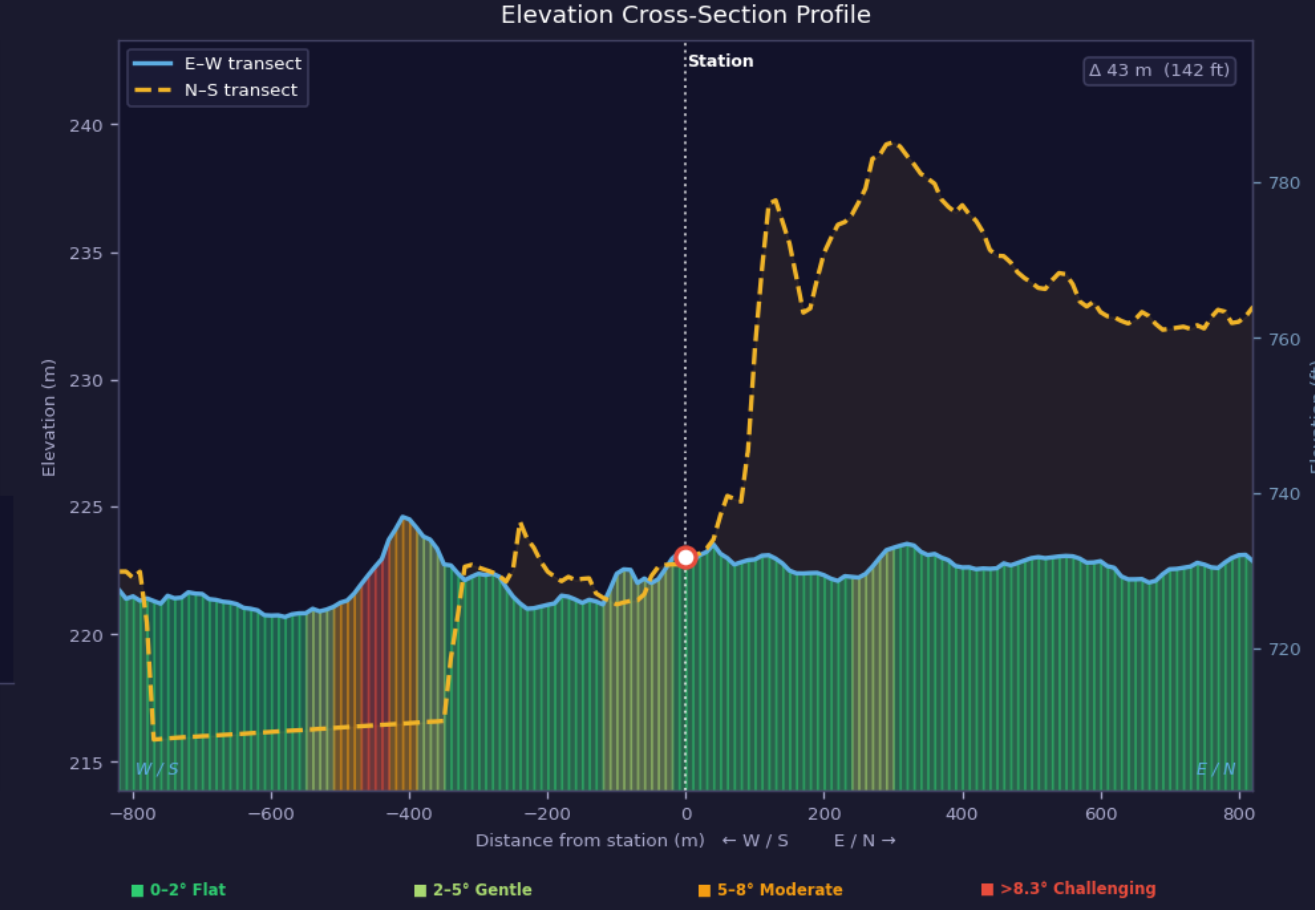
Terrain
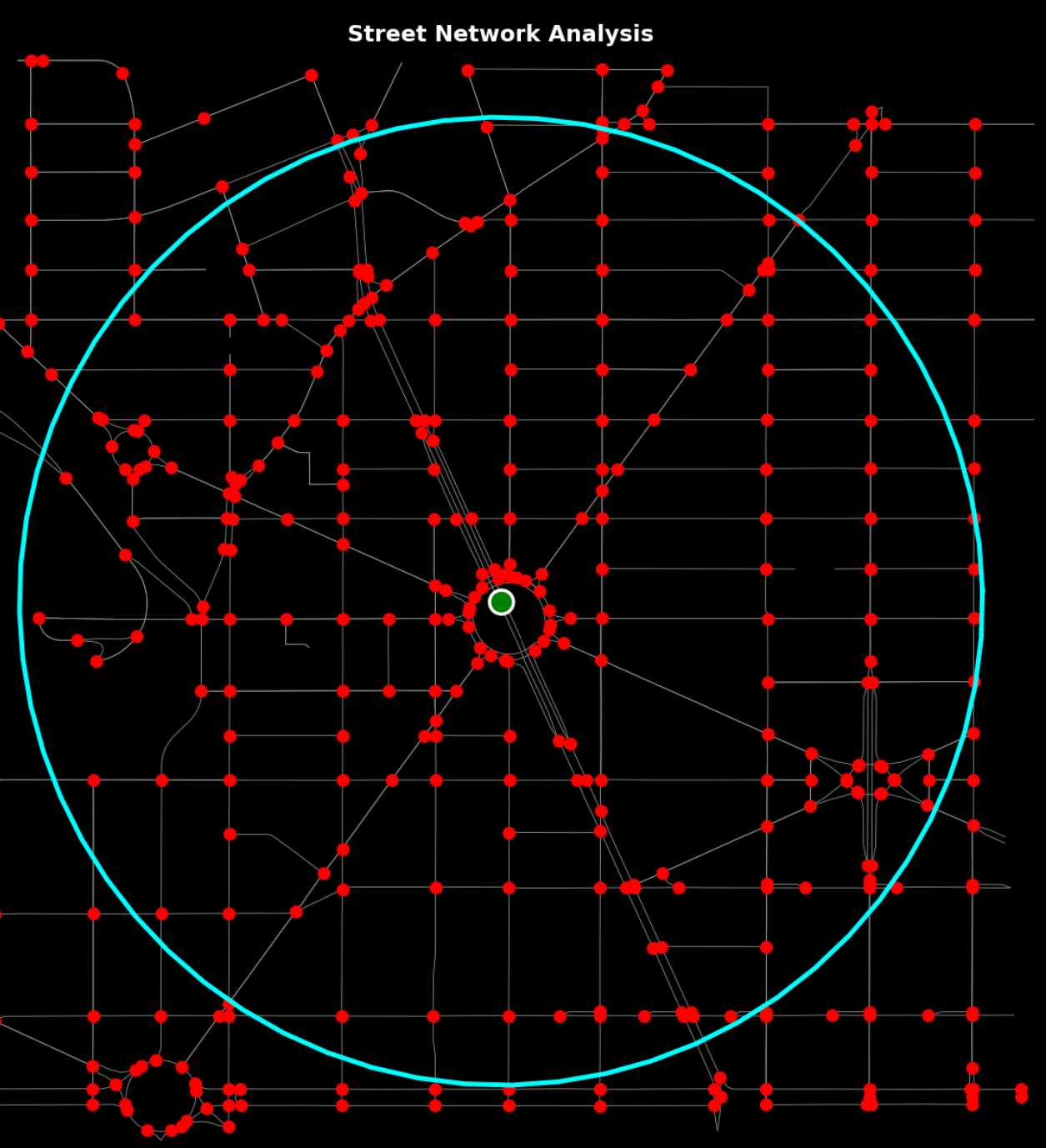
Steet Networks
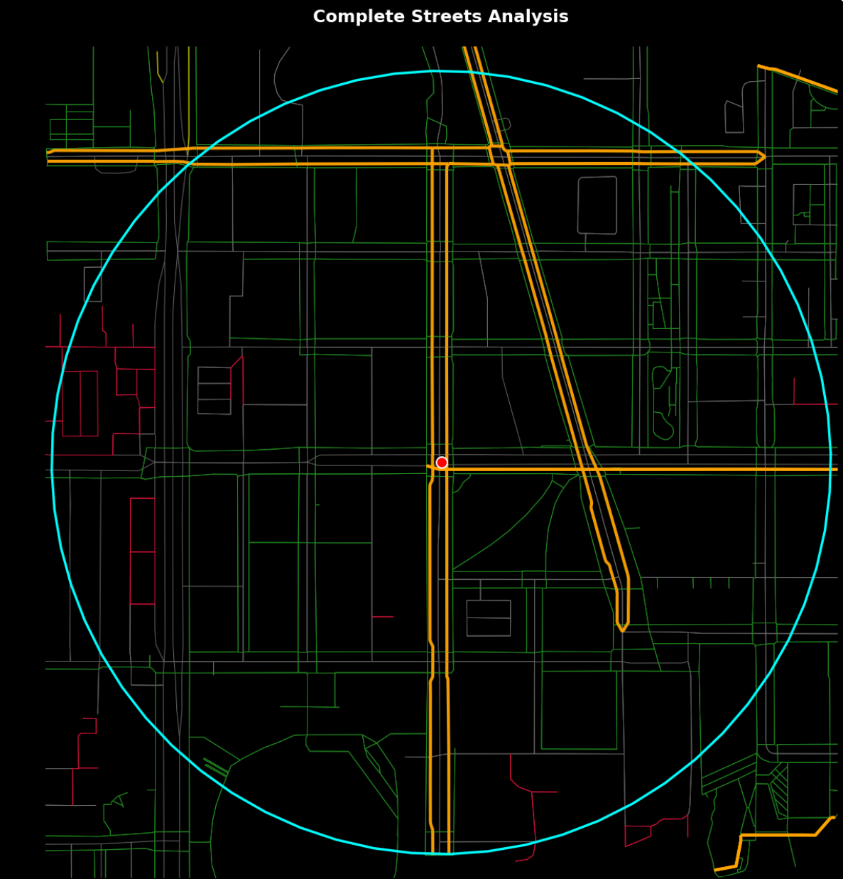
Complete Streets
Data
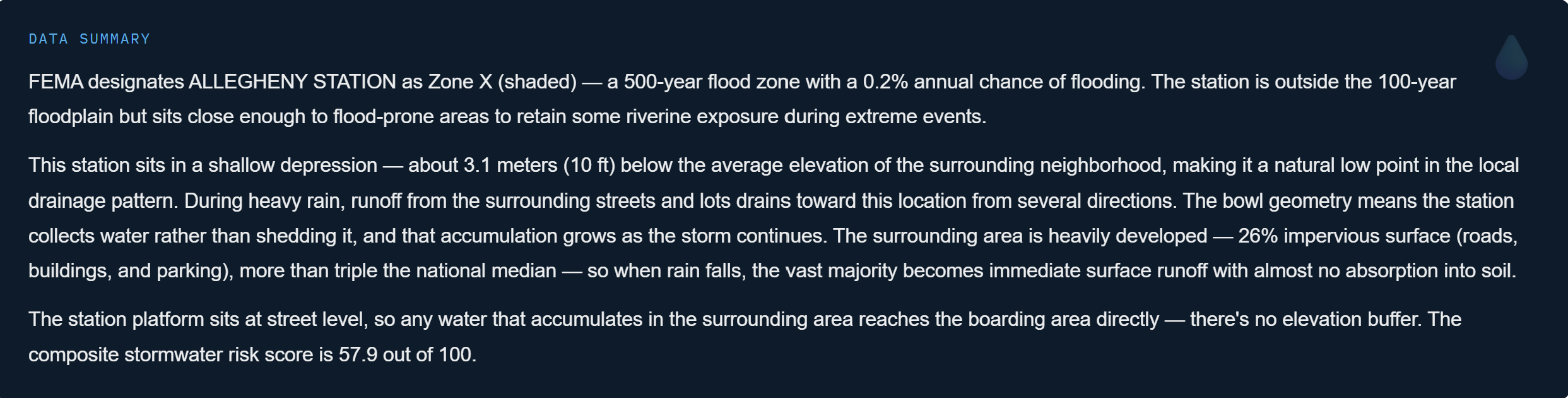
Flood Risk Screening
Your Digital Guide to Transit Stations and Surrounding Neighborhoods
Information
Identify each station’s core features: the agencies, lines and transit modes served, configuration (i.e underground, at-grade or elevated), year built or renovated, address, and size.
Portraits
Highlight and explore areas around each station, analyze land uses, transportation networks and barriers, street networks and connectivity, walkability, and pedestrian/cyclist infrastructure
Synergy
Benefit from OpenStreetMap, computer vision, curated articles from Wikipedia, and AI-generated context backed by empirical data.
Applications
Use the platform for academic research and teaching, mapping investment opportunities, supporting planning and policy, and advocating for smart growth.
Enhancements
Upcoming system deployments will include data and visuals on land uses, civic infrastructure, demographics, and connectivity.
Did you spot a technical glitch or have a suggestion for improvement? Please contact connect@transitdiscoveries.com. We welcome your feedback!
Integrity
Click here for technical documentation including data sources and definitions, methodology, and plans for future updates.